
By the RREV team · mytrailsync.com/fire-check
Every condition a route planner deals with sits still long enough to plan around. Grades don't move. Fuel stops don't move. Even weather keeps a schedule of sorts — a front shows up on a forecast days out. Wildfire is the exception. It is the one route condition that can rewrite a week of planning overnight, and it does its rewriting in exactly the places overlanders go: forest service roads, high desert, the kind of country where the detour is not around the block.
The question, and where the answer lives today
The question is simple: is there fire near this route, right now? The answer exists — the National Interagency Fire Center publishes active incident data for the whole country — but it lives in the shape of a map of everything, not the shape of your trip. So the night-before ritual becomes a tour: a federal map here, a state incident page there, a county alert feed, a forum thread from someone who drove through Tuesday. Each source is honest. None of them knows your route. You end up doing the intersection in your head, at the exact moment you should be sleeping before a long drive.
And the failure mode of that ritual is not dramatic. It is a road that was open when you checked the news, a plume on the horizon two days later, and a 9,000-lb trailer on a single-lane forest road that does not offer second thoughts.
Fire is route data, not news
When we built TrailSync, fire went in as a first-class route condition from the start: plan a route and it scans a 50-mile corridor around it for active incidents from NIFC data — and re-checks every time you open a saved trip, because a plan made in June needs to know about the fire that started in August.
That corridor is the whole idea. A statewide map answers "is there fire in California," which in August is always yes and never useful. A corridor answers the question you actually have: is there fire near where I will physically be. Same data, different shape — and the shape is what makes it actionable.
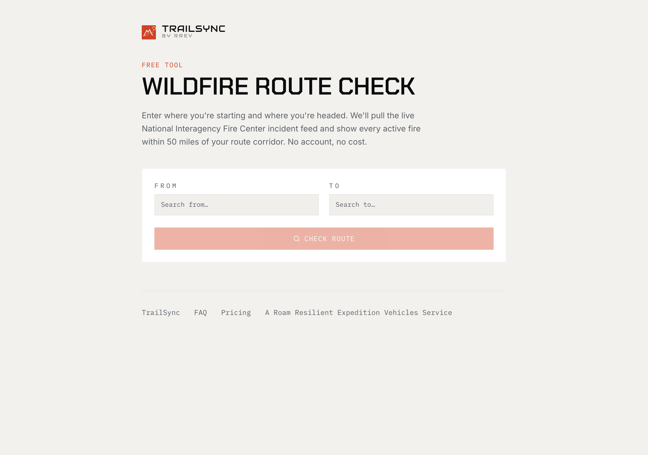
The whole interface. Two fields, one button — no account, no cost.
Why it got its own address
Then we noticed who was asking. Not just TrailSync users with saved trips — friends towing to a race in Baja, families headed to a national park in a minivan, neighbors asking us to "check the fire thing" before a weekend run. The question is universal in fire season. The answer shouldn't require adopting a trip planner first.
So we pulled the check out of the planner and gave it its own front door, free for anyone: mytrailsync.com/fire-check. Give it a route. It draws the corridor, runs the intersection against active incidents, and shows you what's burning near your line — named, located, listed, mapped. The check that used to be five tabs and a judgment call is one screen. Seconds, not an evening.
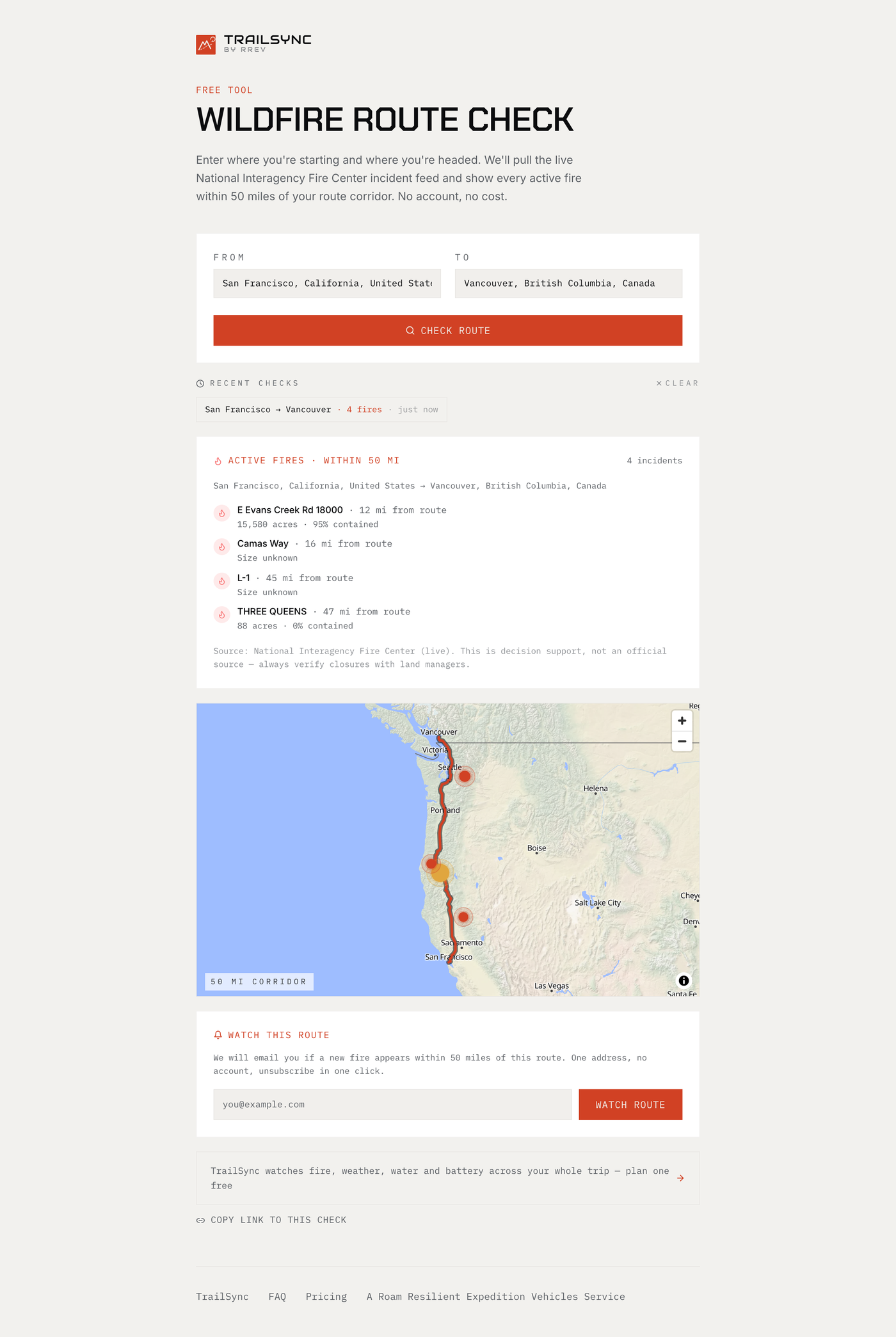
A real check, San Francisco to Vancouver BC: four active incidents, each with distance from the route, acreage and containment — and the 50-mile corridor drawn on the map.
And because a clear check tonight is not a clear road next week, there's a watch: leave one email address against a route and Fire Check tells you if a new incident appears inside its corridor. No account for that either — one address, unsubscribe in one click.
What a fire check is — and is not
We build safety equipment for a living, so we will say this the way we'd say it about a recovery strap: know what the tool is rated for.
- It is a snapshot. Fire moves. A clear check tonight is not a clear road tomorrow — run it again the morning you leave, and again before you commit to the stretch with no cell coverage.
- It is as good as the feed. Incident data is the best national picture that exists, and new starts still take time to appear in any system. A fresh smoke column you can see beats any dataset that says otherwise.
- It does not outrank a gate. Posted closures, evacuation orders, and rangers are the authority. Fire Check tells you where to look harder; it never tells you a closed road is open.
That's not fine print. That's how the tool is meant to be held: check before you go, keep your eyes up while you're out, and let the data and the windshield vote together.
The rig is the reason
This tool exists because of how enthusiasts travel. A sedan on an interstate can outrun a bad guess. An expedition rig two hours down a washboard road, at trailer speeds, in country with one way in — that vehicle needs the guess taken out ahead of time. The further off-grid the trip, the more the planning has to carry, which has been the whole TrailSync argument from day one: the freedom out there is downstream of the discipline before you leave.
Fire season is not a reason to stay home. It is a reason to know. The check is free — run it, read the corridor, and go.
Free for everyone, owner or not, is the point of it. That is the third step of the RREV master plan.